
Today we chose a short Calder Vale walk as we had our new pup, Pickle with us. It was her very first Forest of Bowland walk, and she loved it!
Nearby walk
Route info
| Starting postcode | PR3 1SP |
| Nearest pub | |
| Stay over | |
| Distance | 2.1 miles |
| Low point | 90 metres |
| High point | 184 metres |
| Total ascent | 151 metres |
| Calories estimate | 500 |
| Steps | 4,000 |
| Cows | Yes |
| OK for dogs | On leads |
| Bogs | Fine today |
| Difficulty | Very easy |
Map
More media

Route description
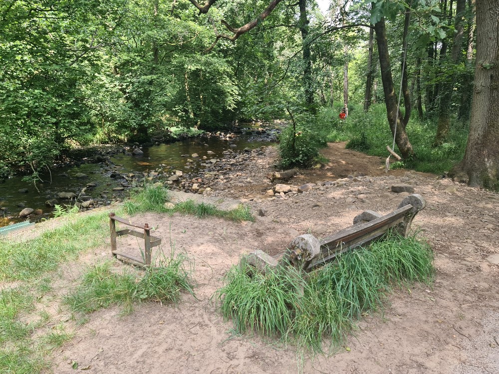
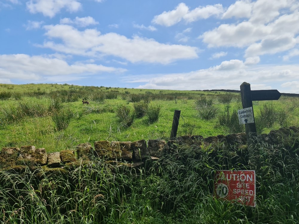
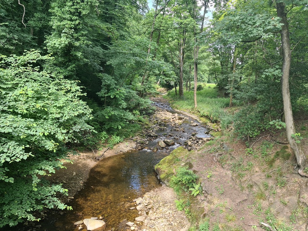
Jo writes: On one of the hottest days of the year so far, we agreed that a short walk (almost exactly 3km) would be more than enough for our two pups. We set off for the quaint old mill village of Calder Vale, which sits on the edge of the Forest of Bowland. Parking here, at the end of the no-through road, is in short supply but we were able to find a spot next to Lappet Mill as it was very quiet in the village today. Lappet Mill is no longer powered by water from the River Calder as it was in its early days, and it now produces woven cloth to make Arab head-scarfs.
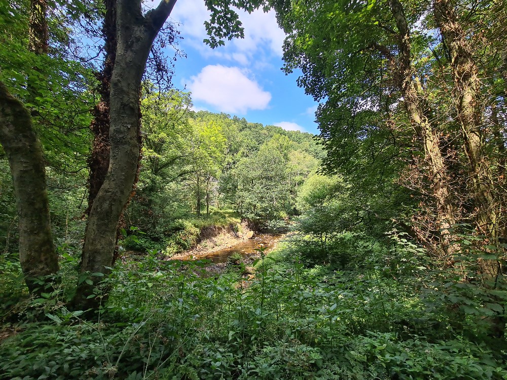
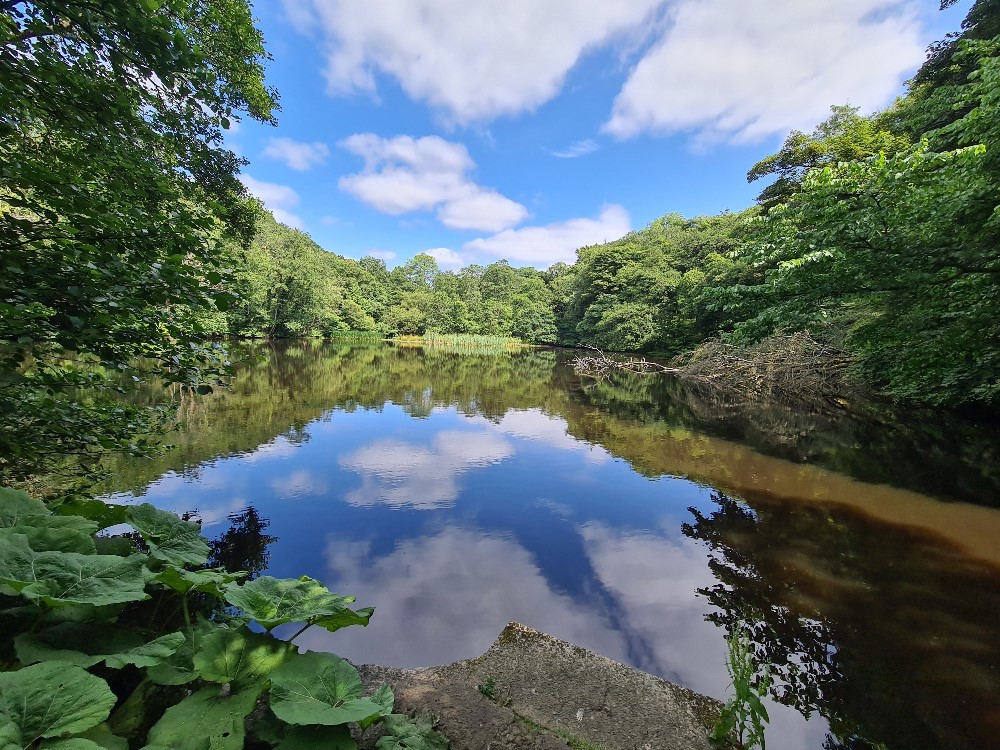
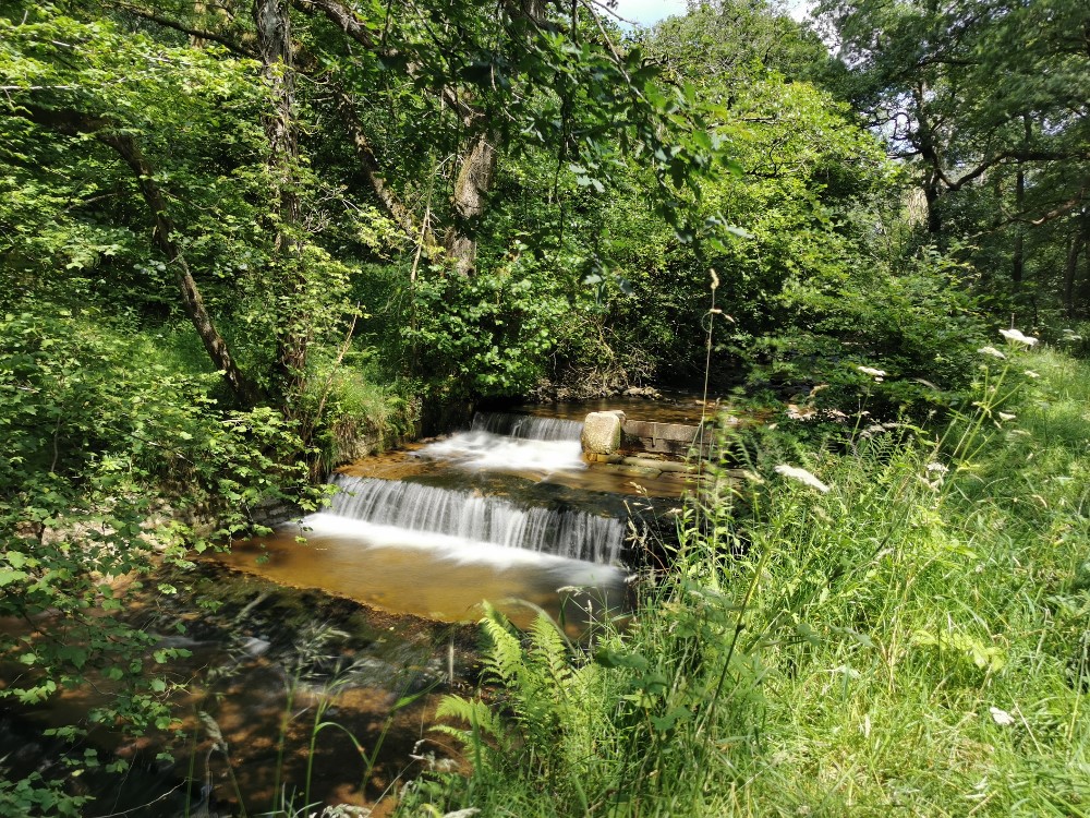
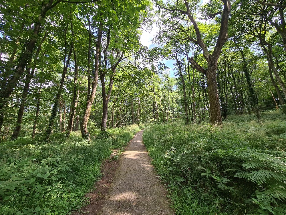
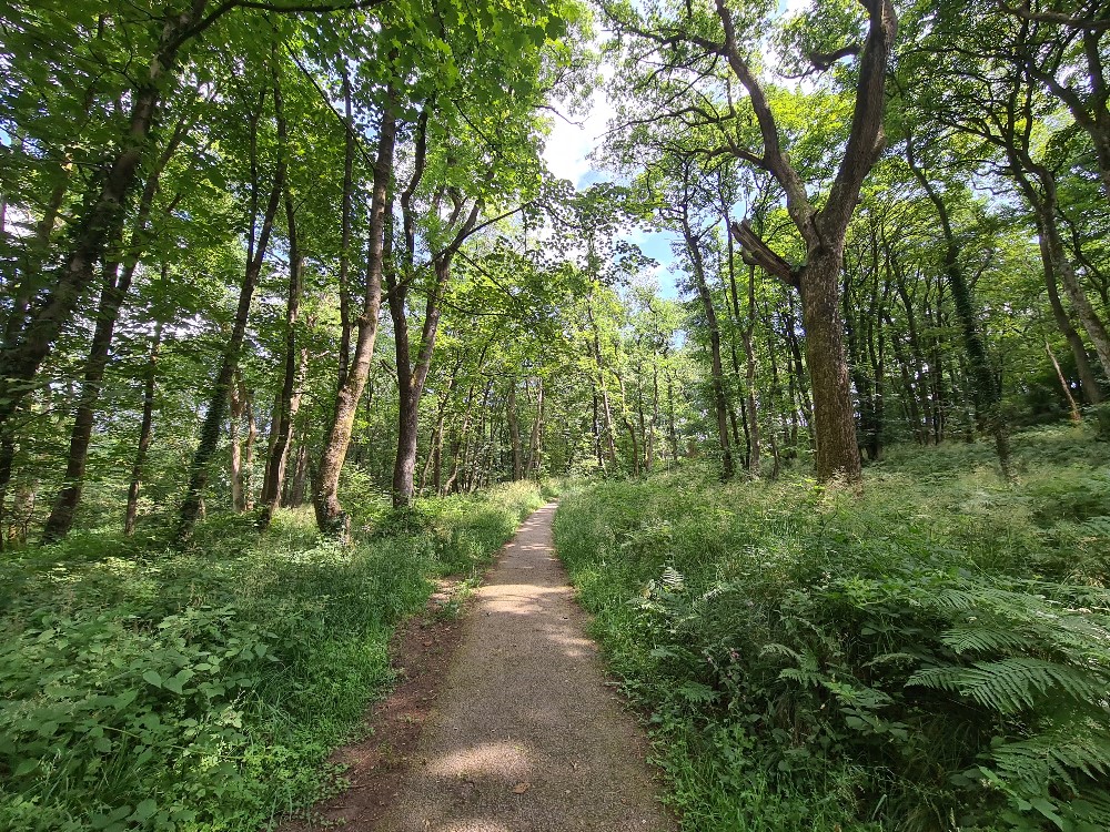
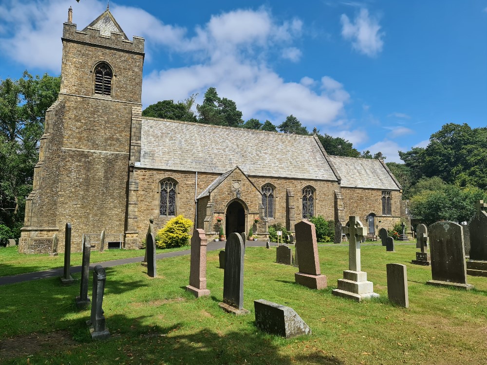
We began our clockwise circular walk in the direction of the church and the village school. We passed in front of a row of the original mill-worker's cottages, Long Row, and stopped for a chat with a couple who live there and were setting off on their daily stroll to the mill pond to feed the ducks. After rounding the north edge of the cottages, we passed through the gate straight ahead and on to the very pleasant path that runs alongside the river. Where the path meets the weir, it heads quite steeply upwards through Stirk Hey Wood, away from the river and where after just a few minutes it reaches the gate into the churchyard. The 19th Century church is small and picturesque and is well-known for being surrounded by bluebells during April and May each year. The bluebells also fill Stirk Hey Wood each year and attract visitors from far and wide.
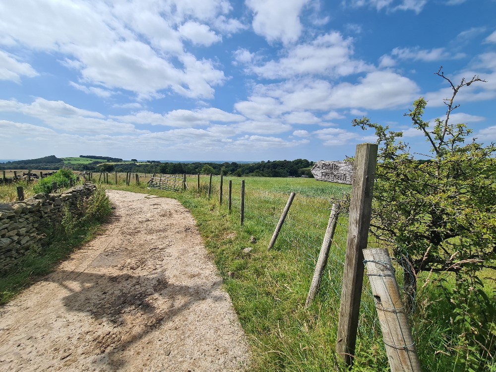
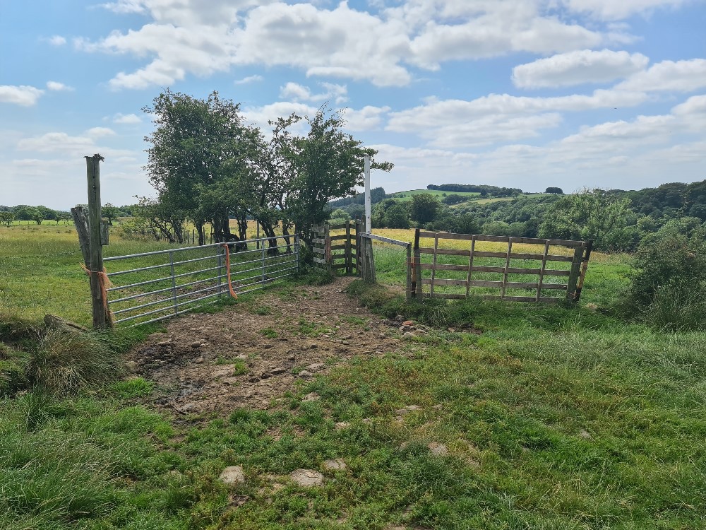
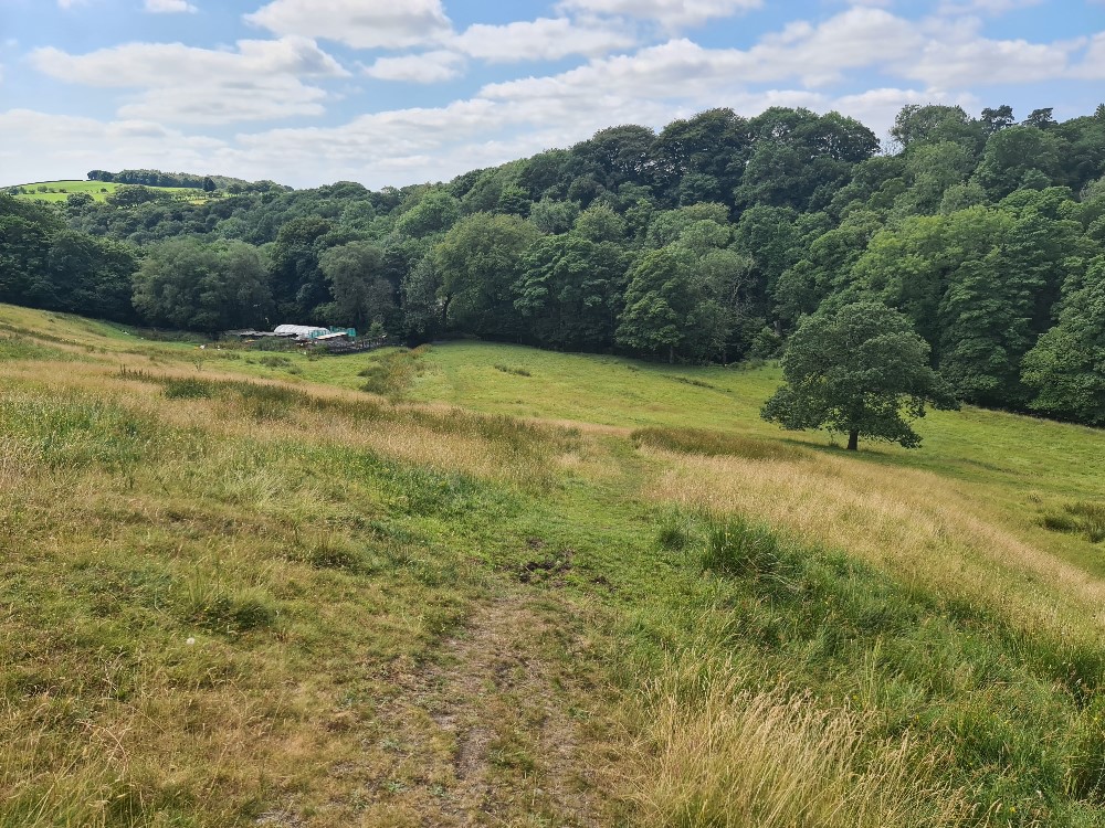
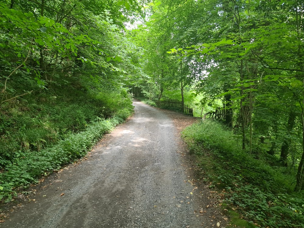
After passing through the pretty churchyard and alongside the primary school yard, the path reaches the end of another no-through road, where we took the path to the right. The stony path passes a converted barn on the right and passes over a cattle-grid. It reaches a bend and continues to Landskill Farm. We stopped briefly to admire the new calves in one of the farm buildings and then continued our walk passing through a farmyard gate onto the farm lane. After a couple of hundred yards there is a sharp bend in the lane, which is where we took the south-westerly path on our left across a large field with a number of grazing calves. Whilst the path is not particularly distinct, there is a large tree and a gate that can just about be seen in the distance. After passing through the gate, we continued in the same direction down a steep-ish grassy slope that takes you to a footbridge crossing the river. At the end of the footbridge there are 6-7 fairly steep steps and here we took a right on to the lane that leads back into the village.
The walk took us around 50 minutes and included some nice spots of shade on the hot day. It isn't a walk that's suitable for anyone unsteady on their feet, or for pushchairs, but it is certainly not a demanding walk for the experienced walker.